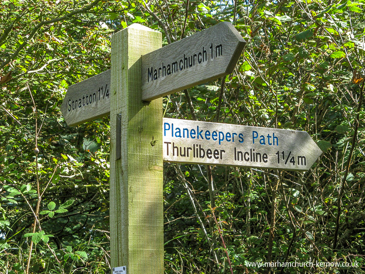
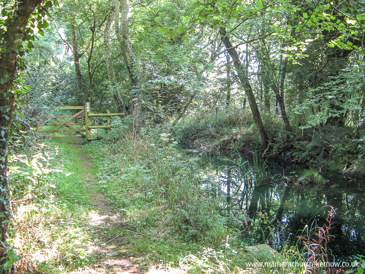
From the Bullers in Marhamchurch, head out of the village on Hobbacott Lane, following the signs for Bridgerule. Down into the dip then the road climbs up past the old cottages on the left, past the White House (American citizens should salute) out of the village and to the cross roads where you turn left towards Stratton. Down the hill, passing farm gates with views on the left over Marhamchurch. Through gates on the right the Inclined Plane is visible as a line of trees ascending Hobbacott Down, with the Planekeepers Cottage at the top. Watch on the right for a signpost to the Thurlibeer Incline otherwise known as the Hobbacott Incline. If you reach Cann Orchard you have gone to far.Through the gate and you are walking along the old canal towpath, Cann Orchard on the left, the boggy, silted channel of the 19th century canal on the right, shady trees overhanging. At the end of this section you arrive at a single track paved road. Turn right onto the road and after a few metres another gate on the left leads into a field. Look about 10 oclock to the left and in the far corner of the field is the next gate. You can either skirt around the edge of the field if it is being used for crops, or walk straight towards the gate if livestock are about, but watch underfoot for essence of sheep or cattle. The houses of Stratton are on the far hill to the left.
Passing through this gate takes you into the next remaining section of the canal, parts of which have been eradicated to make way for agricultural land. At the end of this section, pass through the next gate into a field which is usually uninhabited. The next target is pretty much straight ahead, so keep to the line of the fence on the right (at the bottom of the same sheep field) until you spot the gate ahead.
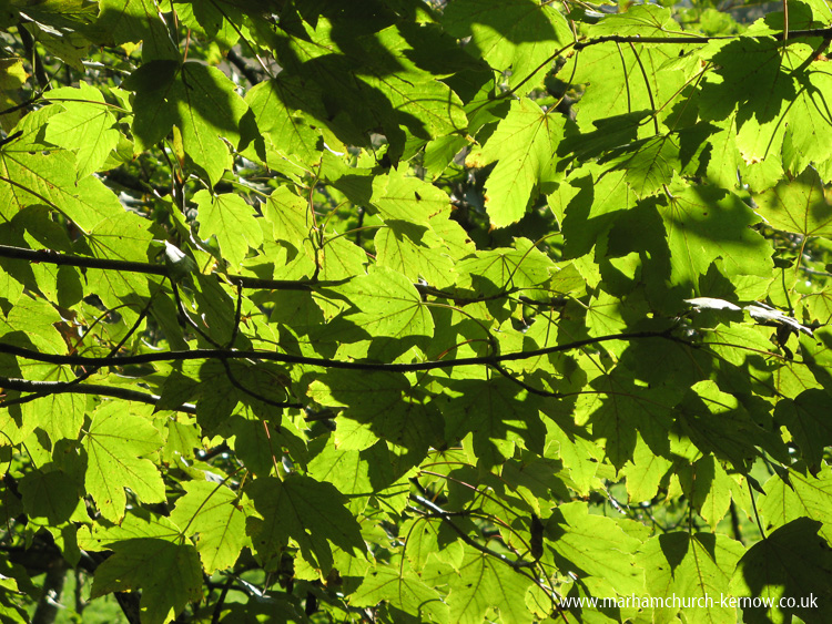
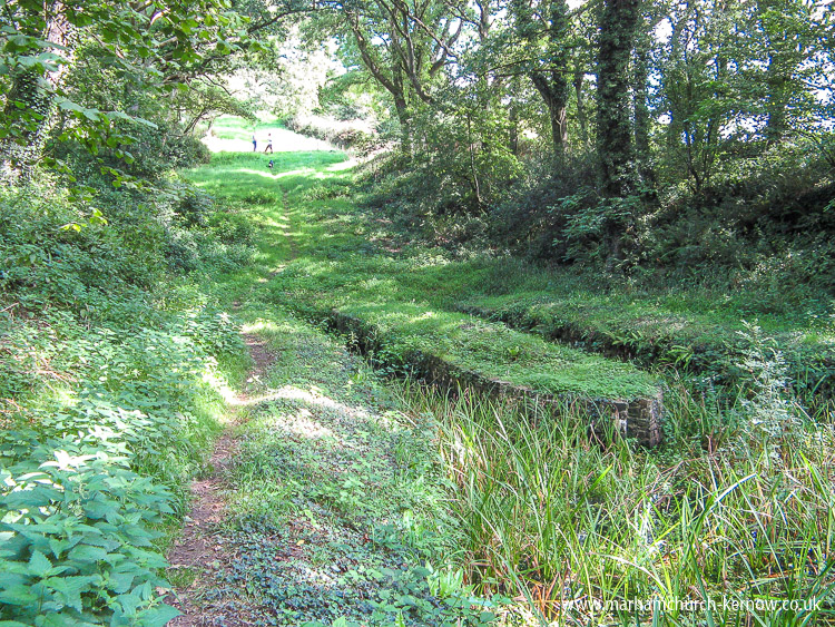
The path on this section follows the towpath for a good way, but for while veers left around a wooded area through which runs a stream. A couple of wooden footbridges have been built to cross the stream, but there is often a boggy section between the bridges, so watch your step!
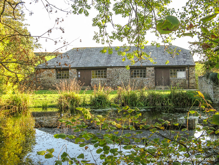
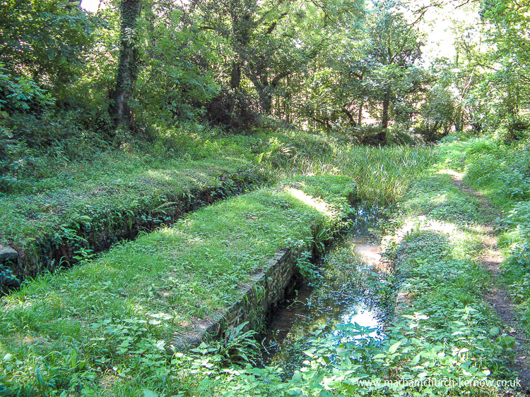
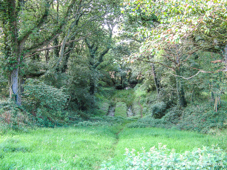
Just after rejoining the canal another gate marks the next boundary. Here the canal ends just as it was designed to do, into the twin basins at the bottom of the Inclined Plane. The tub boats would pulled from one basin and hauled up the incline as described on websites linked at the bottom of this page. The tubs arriving downhill would be dropped into the parallel basin for their onward journey towards Bude.
In this shaded area you may be lucky to see a wren, which in this area have quite a reddish appearance, flitting through the bushes, or you may spot Graham out walking his dog instead
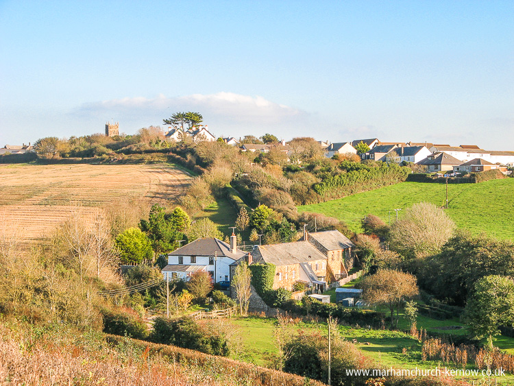
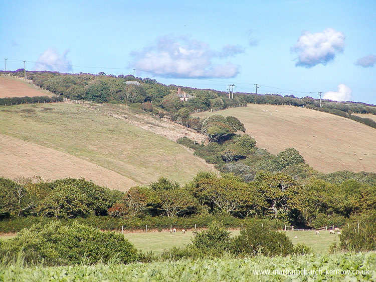
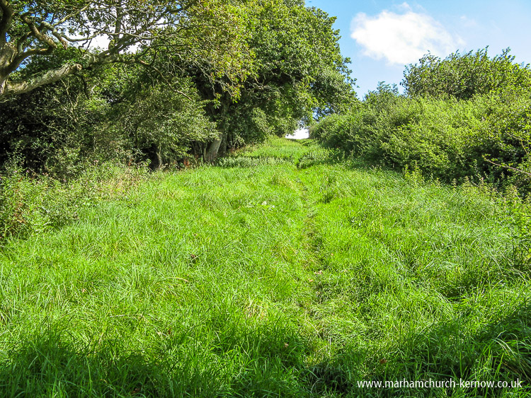
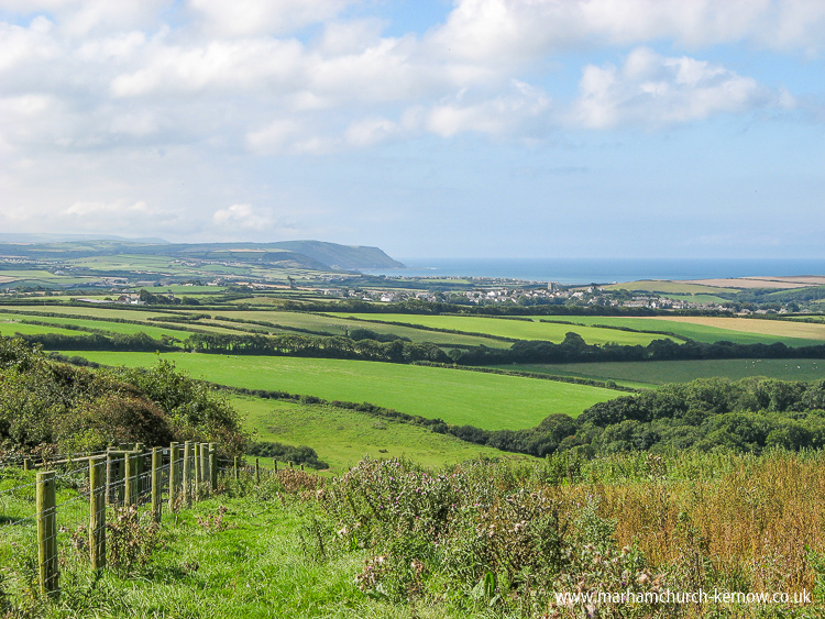
Climbing up the 1 in 4½ incline which with a bit of snow would make an excellent red run - on the far side, pass between tall hedges until you reach the top of Hobbacott Down, the old barn on the right. The view from here is spectacular, looking over Marhamchurch in the near distance to Widemouth Bay and the Atlantic beyond.
The walk takes about 45 minutes each way.
|
|

|
|

|